


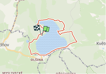

5.4 km | 7.3 km-effort

Tous les sentiers balisés d’Europe GUIDE+


FREE GPS app for hiking
 SityTrail
IGN / Geographical institutes
SityTrail World
The world is yours!
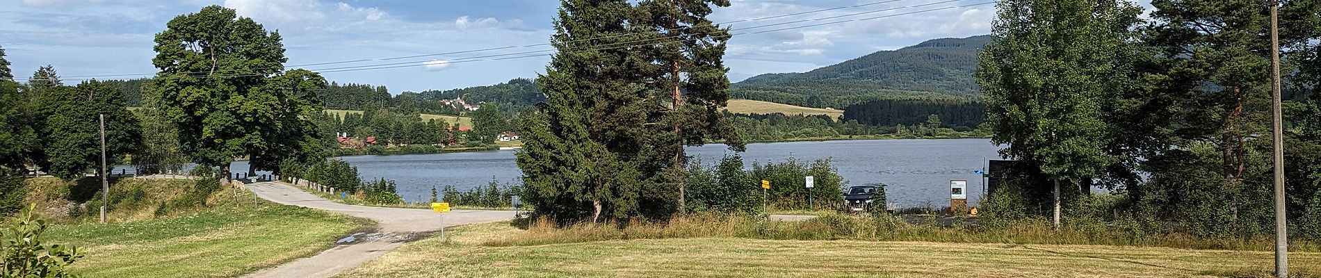
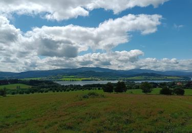
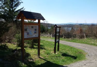
Trail On foot of 7.4 km to be discovered at Southwest, Jihočeský kraj, Polná na Šumavě. This trail is proposed by SityTrail - itinéraires balisés pédestres.
VLS ČR, s.p. je státní společnost s více než 80. letou tradicí, s kořeny v první republice.
Website: https://www.vls.cz/cs/naucna-stezka-olsina


On foot
On foot
On foot